The Trek
- Location : S2 Height, Seremban 2 - Negeri Sembilan
- Usually it takes 3~4 hours full loop
- Distance : 8 KM++ (Depends on route)
Getting there
- Using Waze App search for Seremban Green Lake
Facilities and Fees
- Toilet and Bathroom : -
- Parking : Small parking area
- Guide : No
- Permit : No
GPX in Google Map
Bukit Bal and Bukit Ebang Full Loop Trail Map
GPX Download Link
Download
Exploring Bukit Bal and Bukit Ebang
February, 19 2021
Bukit Bal and Bukit Ebang located behind S2 Height with the height of 260 a.s.l. There are few entrances to access depends on which landmark would you like to visit first. Common entrance is start from S2 Height next of Rimbun Irama, you might start from Kg. Sebir asli settlement, Labu Batu 8 or Jalan Bukit Nenas as well.
Recently these two mountains become a famous place for hiking / mountain bike / trail run training ground and a few landmarks for photography such as:-
- Grand Cayron
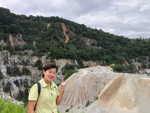
- Seremban Green Lake
- Twin Tree
- Tortoise Rock
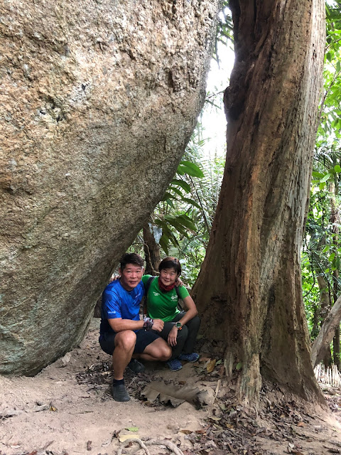
- Big Rock
My first explored on this mountain was in 8th August last year, started from S2 Height to Grand Cayron, Seremban Green Lake, Kg Sebir. Few months later I noticed that a new landmark was found - "Twin Tree", visited that on 1st January 2021.
Two weeks later (16/01/2021) we did explore the Tortoise Rock during our morning hike and Big Rock on the evening hike which was just before the MCO 2.0 started.
I was study the full trail of Bukit Bal and Bukit Ebang during the MCO period and finally we managed to hiked the full loop of all these landmarks on 19 February 2021.
0822 Start from S2 Height Rimbun Irama
0830 Grand Cayron
0840 Seremban Green Lake (Bukit Bal) A right junction going down hill to Green Lake
0857 View Point (Turn left to Twin Tree and Big Rock, going straight to Kg. Sebir Asli Settlement)
0902 Turn left to Tree Tree, going straight to Big Rock
0917 Twin tree (The trail behind the tree is going to Bukit Nenas, another trail is to Turtles Rock)
1013 Continue to Turtles Rock will up hill
1025 Reach the small rock (One if the key marking, going up trail will link back to Twin tree junction, going down hill to Turtles rock)
1029 Turtles Rock
1033 Further down till the small stream
1100 Crossed the small stream and reach the plan oil estate
1105 Remember to turn right to the durian farm
1120 Durian farm and all the way ascent till the Big Rock Junction
1128 Turn left to Big Rock
1134 Big Rock
1154 Descent
1200 Hut
1220 Asli Junction (Turn left to Bukit Sebir, Turn right back to View Point)
1231 View Point
1246 Green Lake
1303 Car Park
 |
| Grand Cayron Area |
 |
| Seremban Green Lake |
 |
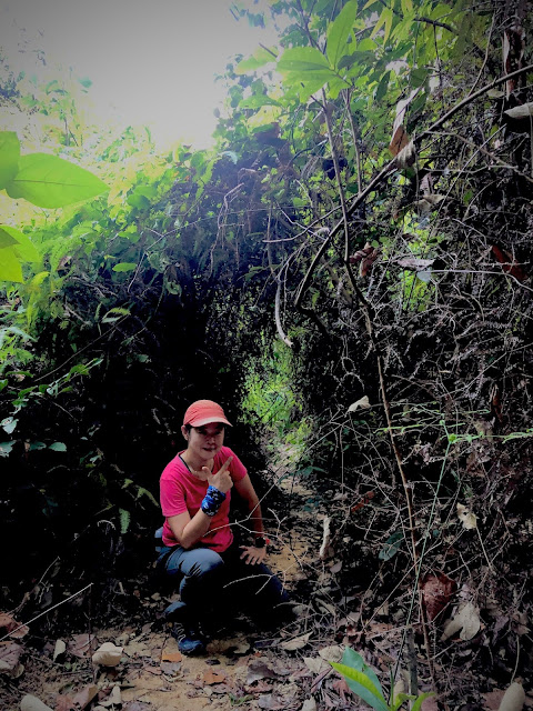
| A trail could come down to the Green Lake Area |
 |
| Landmark to View Point, Twin Tree, Big Rock |
 |
| View Point |
 |
| View Point |
 |
| Turn left to Twin Tree |
 |
| Twin Tree |
 |
| Small Rock Landmark. Follow 12 o'clock direction and going down hill |
 |
| Tortoise Rock |
 |
| Continue going down till the small stream |
 |
| Durian Farm |
 |
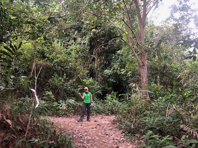
| On the way to Big Rock |
 |
| Big Rock |
 |
| Bukit Bal and Bukit Ebang Full Route (2021-02-19) |


can u share/email me the route trail (GPX file). TQ
ReplyDeletehi hello... do u mind to share the route via gpx file? tqvm..
ReplyDeleteHi, mind to share gpx file? babychai83@hotmail.com Thank you.
ReplyDeleteHi Cikgu Molan
ReplyDeleteMy HP no 0182822923
Can you please share the gpx for the full track
ReplyDeletemikeleekc01@gmail.com
Thanks.
Hi, can share me the gpx ongkey@gmail.com? TQVM
ReplyDeleteHi, mind to share gpx file? hadios9112@yahoo.com. Thank you.
ReplyDeleteKenapa saya cari xjumpa..Sendayan atau srmbn dua .aduiii..ini tmpt Aje tak jumpa
ReplyDelete